A field guide, not a leaderboard
Sortsafariradarp.com is an independent information website about hiking preparation and nature exploration. We organize route choices around the demands a walker can anticipate: distance, ascent, terrain, exposure, seasonal conditions and the consequences of delay.
We do not claim to have walked every route mentioned, employ a field-testing team or provide real-time inspections. Named places illustrate planning decisions. A reference is not an endorsement of a route for your individual circumstances.
What we compare
- Physical demand: total distance, climbing and likely sustained effort.
- Technical context: footing, wayfinding and exposure—not simply fitness.
- Environmental context: weather, altitude, daylight and seasonal change.
- Practical access: closures, transport, entry rules and permits.
- Recovery margin: turnaround opportunities, communication and a simpler alternative.
These factors inform our lower-demand, moderate and high-demand descriptions. They do not create an official or mathematically validated grading system. Where we quote a park’s published rating, we identify it as that source’s rating rather than silently substituting our own.
How sources are used
Official land managers are the starting point for access rules, published route figures and safety guidance. We link to relevant National Park Service information so readers can check details at the source. Recent visitor reports can add context, but they do not override closures, warnings or permit rules.
Our pages are static editorial material. We do not continuously check every linked page, and conditions can change faster than a guide can be revised. Verify important details near departure and follow current signs and ranger instructions on site.
What our illustrations mean
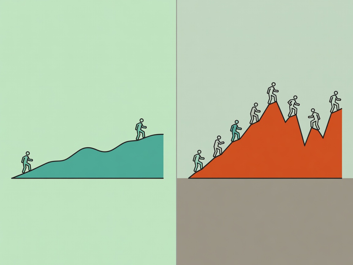
The vector landscapes and elevation strips explain ideas. They are not scale drawings, surveyed profiles or navigational maps. Do not use an illustration to locate a junction, estimate a slope angle or find a safe passage.
Corrections and transparency
If a source has changed or a statement needs correction, send the page address, the relevant wording and an official reference through our contact page. We do not sell bookings or equipment through these pages, and this static edition contains no affiliate purchase links.